
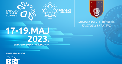
SARAJEVO HALAL FAIR
17.05.-19.05.2023.
Exibition space is limited!
News
Don't miss this unique opportunity!
Don’t miss the chance to become a Sarajevo Halal Fair sponsors, reach thousands of attendees, including Halal consumers, industry professionals, and community leaders. In addition, you'll be supporting a worthy cause and contributing to the growth of the Halal industry.
Sponsors


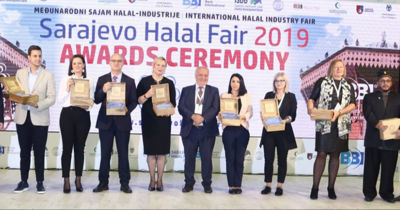
Visit a halal fair
in the heart of Europe
in the heart of Europe
Join us in Sarajevo and experience the best of halal culture in a welcoming and inclusive environment. With a wide range of activities, entertainment, and networking opportunities, the Halal Fair promises to be an unforgettable experience for all. Don't miss out on this unique and exciting event.
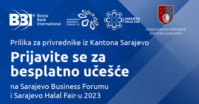
The registrations for the Sarajevo Halal Fair will be opened on 17.03.2023.
Sarajevo Halal Fair Mobile apps
Keep all information about the fair at hand with the Sarajevo Halal Fair mobile apps.
Download here


Trg djece Sarajeva 1
71000 Sarajevo
Bosnia and Herzegovina
71000 Sarajevo
Bosnia and Herzegovina
